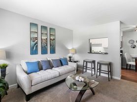
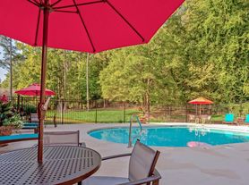
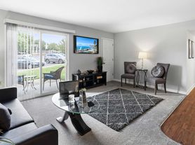
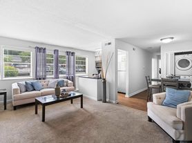
$1,482 - $3,560
- Studio+
- 1+ ba
- 633+ sqft
The Hartley at Blue Hill
For rent

Use our interactive map to explore the neighborhood and see how it matches your interests.
ZIP code 27516 covers Ramsley, Larkspur, Parkside, Northwood and Vineyard Square in Chapel Hill, with a mix of wooded residential streets and access to the town’s shops, services and green spaces. Chapel Hill has a humid subtropical climate, with warm, humid summers and generally mild winters. Outdoor time can include nearby trails and parks; Chapel Hill’s public library and playgrounds add options for indoor and outdoor recreation. The wider town offers local cafés, restaurants, shopping, arts venues and nightlife, alongside historic sites connected to the University of North Carolina at Chapel Hill. Getting around is possible by car, bike and local bus, with walkability varying by street and destination. For ZIP code 27516, the median rent is $2,295 per month, with a typical range of $580 to $12,000.
Powered by Zillow data and AI technology.
Laurel Ridge is located at 1100 W State Highway 54 Byp, Chapel Hill, NC. The surrounding area includes multiple restaurants and cafes within 2 miles, such as Merritt's Grill, Carrburritos, and Steel String Brewery.
The closest hospitals and medical facilities to Laurel Ridge include Ambulatory Care Center (0.6 miles away), North Carolina Memorial Hospital (0.9 miles away), and UNC Health Care (0.9 miles away).
The schools assigned to Laurel Ridge include Mel And Zora Rashkis Elementary School, Grey Culbreth Middle School, and East Chapel Hill High School.
Laurel Ridge is located near 4 grocery stores, including Weaver Street Market (0.9 miles) and Harris Teeter (0.9 miles). Additional shopping options, including 3 Birds Marketing, are approximately 0.7 miles away.
Laurel Ridge is located within 0.9 miles of Granville Towers South, 1 mile of University of North Carolina at Chapel Hill, and 2 miles of Battle House.
Claiming gives you access to insights and data about this property.