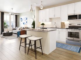
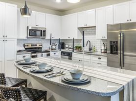
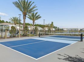
$1,700 - $3,554
- 1+ bd
- 1+ ba
- 678+ sqft
The Southerly at The Shipyard
For rent
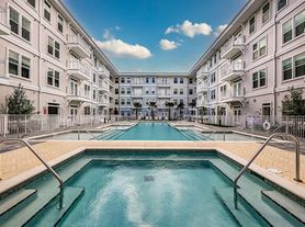
Use our interactive map to explore the neighborhood and see how it matches your interests.
ZIP code 32086 covers Saint Augustine Shores, St. Augustine South, Dupont Center, Moultrie and Cedar Landing, south of historic downtown St. Augustine. The area is mostly residential, with waterways, wooded stretches and a warm, humid coastal climate; the Atlantic breeze and summer storms shape outdoor routines. Saint Augustine Shores has a golf course and community recreation areas, while nearby Matanzas River and local boat ramps offer access to the water. Shops and everyday services cluster along US 1, with casual dining and coffee options spread through the area; historic downtown’s landmarks, galleries and nightlife are a short drive north. Driving is the most practical way to get around, though neighborhood streets and paths suit walks and bike rides. The median rent for ZIP code 32086 is $2,100 per month, with a typical range of $650 to $5,300.
Powered by Zillow data and AI technology.
Ponce Harbor is located at 340 Ponce Harbor Dr, Saint Augustine, FL. The surrounding area includes multiple restaurants and cafes within 2 miles, such as D'Aleos Deli, Coffee creations, and Firehouse Subs.
The closest hospitals and medical facilities to Ponce Harbor include St. Augustine Imaging (0.4 miles away), North Florida Dermatology Associates (0.4 miles away), and Island Doctors (0.5 miles away).
The schools assigned to Ponce Harbor include Osceola Elementary School, Gaines Alternative At Hamblen, and The Evelyn Hamblen Center.
Ponce Harbor is located near 7 grocery stores, including Walmart Supercenter (0.4 miles) and Food Lion (0.5 miles). Additional shopping options, including Lowe's Home Improvement, are approximately 0.6 miles away.
Ponce Harbor is located within 0.2 miles of Wolfpacc Physician Achievement Concept Course and 1 mile of University Of St. Augustine Wellness Center.
Claiming gives you access to insights and data about this property.