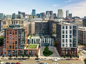
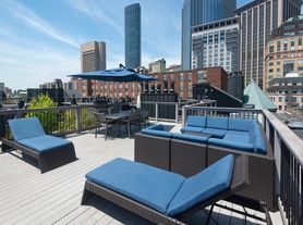
$2,793 - $6,381
- 1+ bd
- 1+ ba
- 775+ sqft
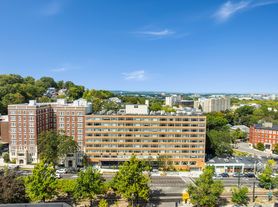
The Longwood
For rent
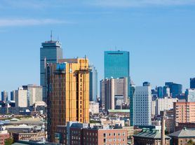
Use our interactive map to explore the neighborhood and see how it matches your interests.
Fenway sits just west of central Boston, with the Emerald Necklace park system and the Charles River Esplanade within reach. Its defining landmark is Fenway Park, while the Museum of Fine Arts and Isabella Stewart Gardner Museum anchor a nearby stretch of the city’s arts scene. Green space includes the Back Bay Fens, with paths and open lawns for walking and outdoor recreation. Along and around Boylston Street, restaurants, cafés, and shops create a lively everyday scene; music and performance venues add evening options. Boston’s four-season climate brings snowy winters and warm summers, so outdoor plans shift with the weather. The neighborhood is served by the MBTA Green Line, buses, and bike routes, making trips around Boston possible without relying solely on a car. For Fenway, the median rent is $3,200 per month, with a typical range of $1,200 to $10,499.
Powered by Zillow data and AI technology.
The Amp is located at 1170 Tremont St in Fenway, Boston, MA. The surrounding area includes multiple restaurants and cafes within 2 miles, such as SRV, Pavement Coffeehouse, and Flour Bakery + Cafe.
The closest hospitals and medical facilities to The Amp include Longwood Medical Area (0.6 miles away), Boston Children's Hospital (0.9 miles away), and Brigham and Women's Hospital (0.9 miles away).
The schools assigned to The Amp include Tobin K-8 School, Madison Park High, and O'Bryant School Math/Science.
The Amp is located near 2 grocery stores, including Whole Foods Market (0.6 miles) and Copley Square Farmer's Market (1 mile). Additional shopping options, including Fenway Health, are approximately 0.8 miles away.
The Amp is located within 0.3 miles of Northeastern University, 0.5 miles of Roxbury Community College, and 0.6 miles of MCPHS University-Boston.
Claiming gives you access to insights and data about this property.