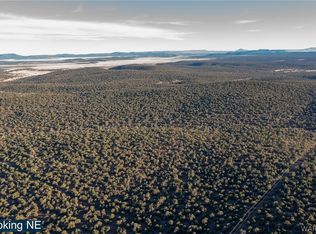
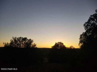
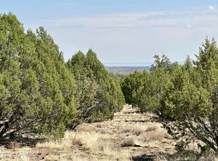
The biggest chunk of earth we humans typically deal in...a Section (1 mile by 1 mile) to call your own! Bordered to the north and to the west by Sections of State Land. 480.30 acres lie within Mohave County and are zoned AR/36A (36 acre parcel minimum) while the remaining 159.70 acres are within Yavapai County and zoned AR/2A (2 acre parcel miniumum). Rolling hills with juniper trees, 5700' elevation to 5900' at a couple of the peaks. This Section is located in Arizona Game & Fish Management Unit 18A, known for elk, mule deer, antelope, and javelina. Please see photos for satellite images with coordinates. More drone pictures coming soon! Mohave County tax assessor parcel number: 314-42-009 (480.30 Acres) Yavapai County tax assessor parcel number: 301-22-015 (159.70 Acres)
This property is off market, which means it's not currently listed for sale or rent on Zillow. This may be different from what's available on other websites or public sources.